
Company profile
Artifex Simulation and Training Systems Ltd is an independent organization offering a multidisciplinary engineering and scientific staff with a history of long term support to the military training industry. Headquartered in Budapest, Hungary, Artifex is a well established Hungarian MoD defence contractor since 1989. Artifex’s ongoing commitment to develop quality software is reflected in its ISO 9001. Artifex is certified as a supplier for NATO tenders up to NATO Secret levels.
The Hungarian MoD is currently using more than 15 systems developed by Artifex.
Expertise
 Providing integrated training solutions
• Training need analysis
• Training systems development
• Training support
• Simulation instruction
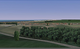
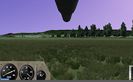
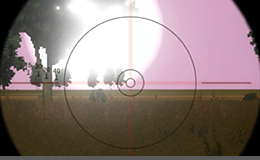
Applied modeling, principles and simulation theoriesApplied builtin GIS and real time expert systemsReal time visualizationWEB based interactive training environmentSoftware development based on customer requirements
Having been in the simulation and training industry for nearly twenty years, Artifex with its 25 strong staff provides its customers the following benefits:
long term and well founded IT expertise at the cutting edge of technologyindependence, responsiveness, cost effective, highly flexible operationsconsiderable experience working with military personnel, with an understanding of technical and training needs of the militaryUsing very effective, proven methods integrating IT, system engineering, simulation principles and GIS into state of the art training systems, simulations and other applications
Core businesses
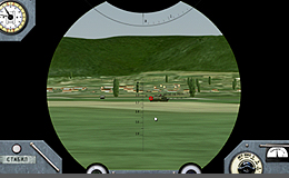
Simulation systems software development
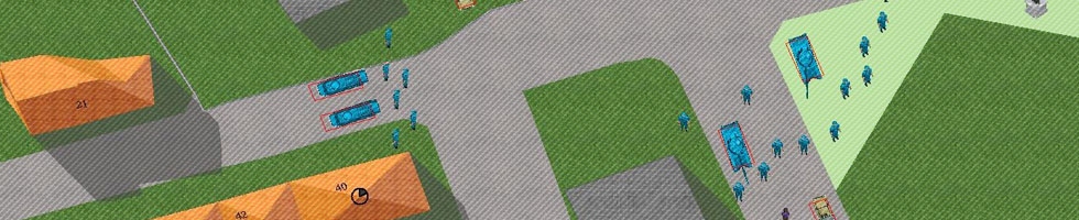
The main focus of Artifex is the development of cost effective military simulation systems. We deliver training solutions for individual soldiers and up to corps level units as well. We use low cost PC based technology even for the most complex constructive simulation system.
Our customers are those military users, who look for elaborated, state of the art, customized solutions based on COTS or low-cost hardware for their training needs.
Military expert software development
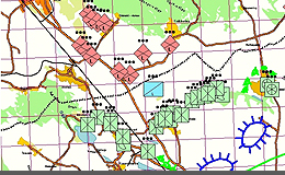
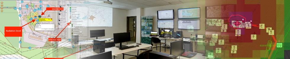
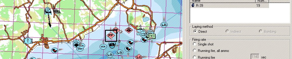
Based on our twenty year experience on knowledge engineering we are developing military expert software, which includes among others the functions of a terrain assessment GIS system and a database of military equipment and weapons containing items from pistol ammunition to aircraft carriers. This system supports group work in the military decision making process executed at different levels of the military organization structure.
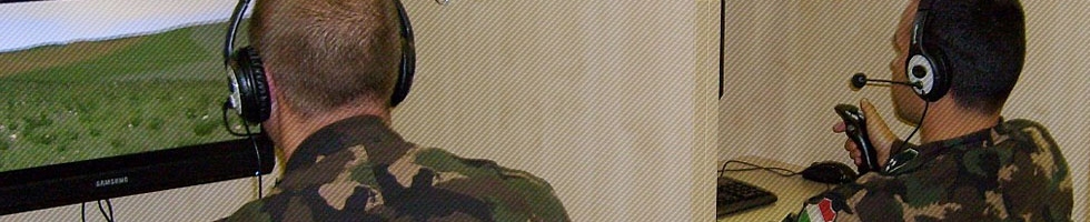
Support services
With our excellent network of connections we provide translation, deployment and local support for our partner’s software.
The deployment of our own simulation software includes training and continuous vendor support.
We have been developing an operating technology for our Marcus CAX simulation system by customizing and improving international experiences. The Simulation Centre of the Hungarian Defence Forces has been using it for more than 10 years. Our development team and military experts support their activity.